Our bush capital, Canberra, like the name suggests is full of nature at our doorstep. Canberra is home to many bushwalking trails and hikes alike including the Centenary Trail. Canberra residents are blessed with an abundant amount of open spaces and trails to explore after work and on weekends. During this article, we will break down the walking trails by region, length of walk and complexity.
Gungahlin
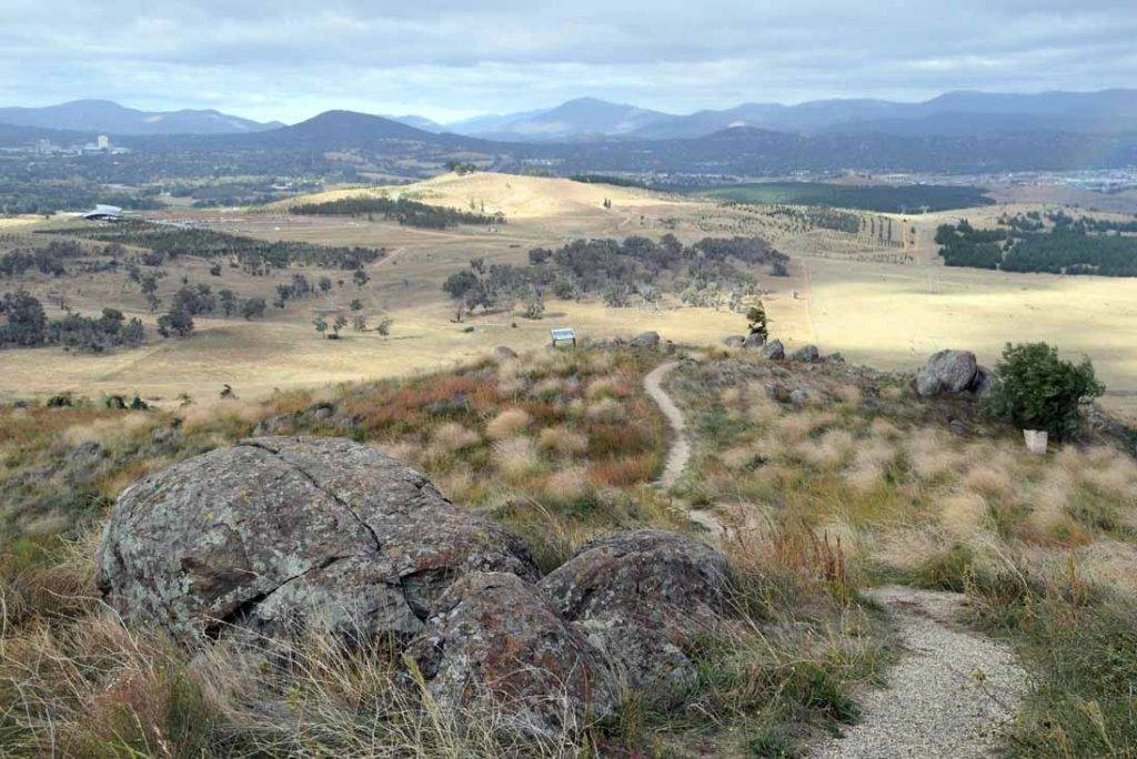
One Tree Hill
Length: 8.4km return
Time: 2.5 hours
Complexity: Moderate
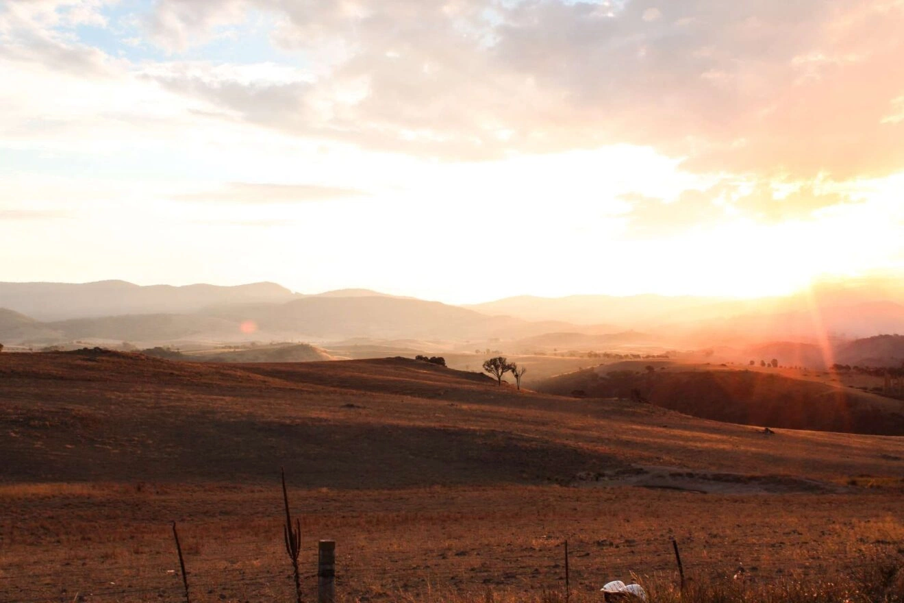
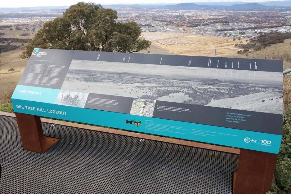
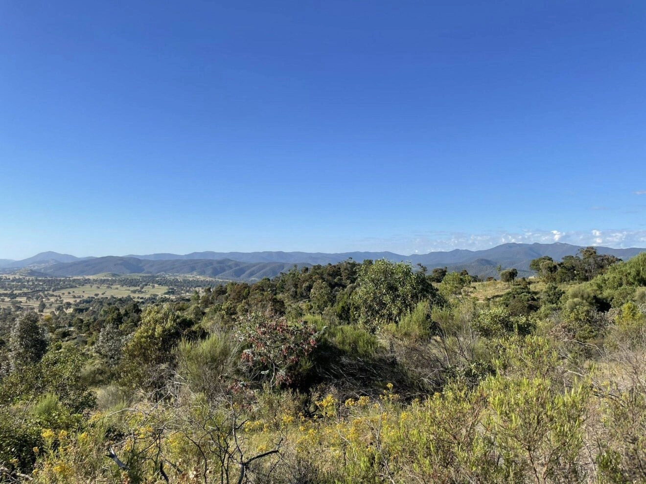
Located out the back near Hall, One Tree Hill is a trail walk that is part of the Canberra Centenary Trail. It is 848m above sea level and the moderate level walk is a steady ascent to the summit. This trail is a shared space between hikers, runners and mountain bike riders and can be quite busy on weekends. The trail begins from the corner of Hoskins Street and Hall Street in Hall and the end result of this walk will leave you with some awesome views across the ACT and the NSW border.
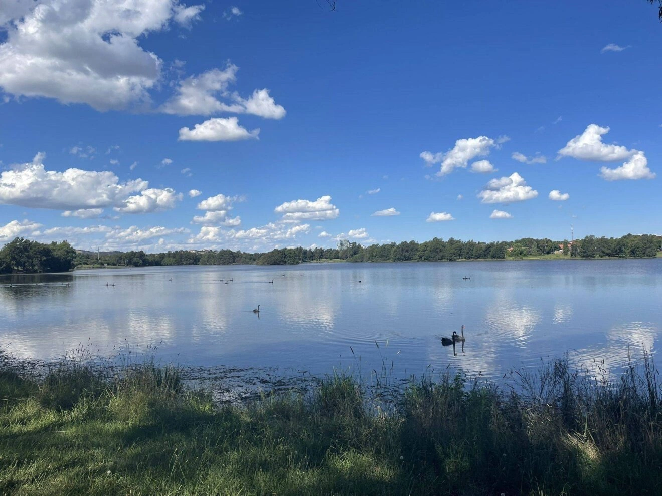
Yerrabi Pond
Length: 5.5km return for full length or 3.3km return for shortened version
Time: 1.5 hours
Complexity: Easy
In the centre of the Gungahlin area, you’ll find Yerrabi Pond which features walking trails, a skateboard area, barbecues, a basketball court, picnic areas and public toilets. The walk as a whole is very flat and scenic along the way. You may see a few swans across the pond on your walk as well. This walk has plenty of benches where you can stop and take in the scenery.
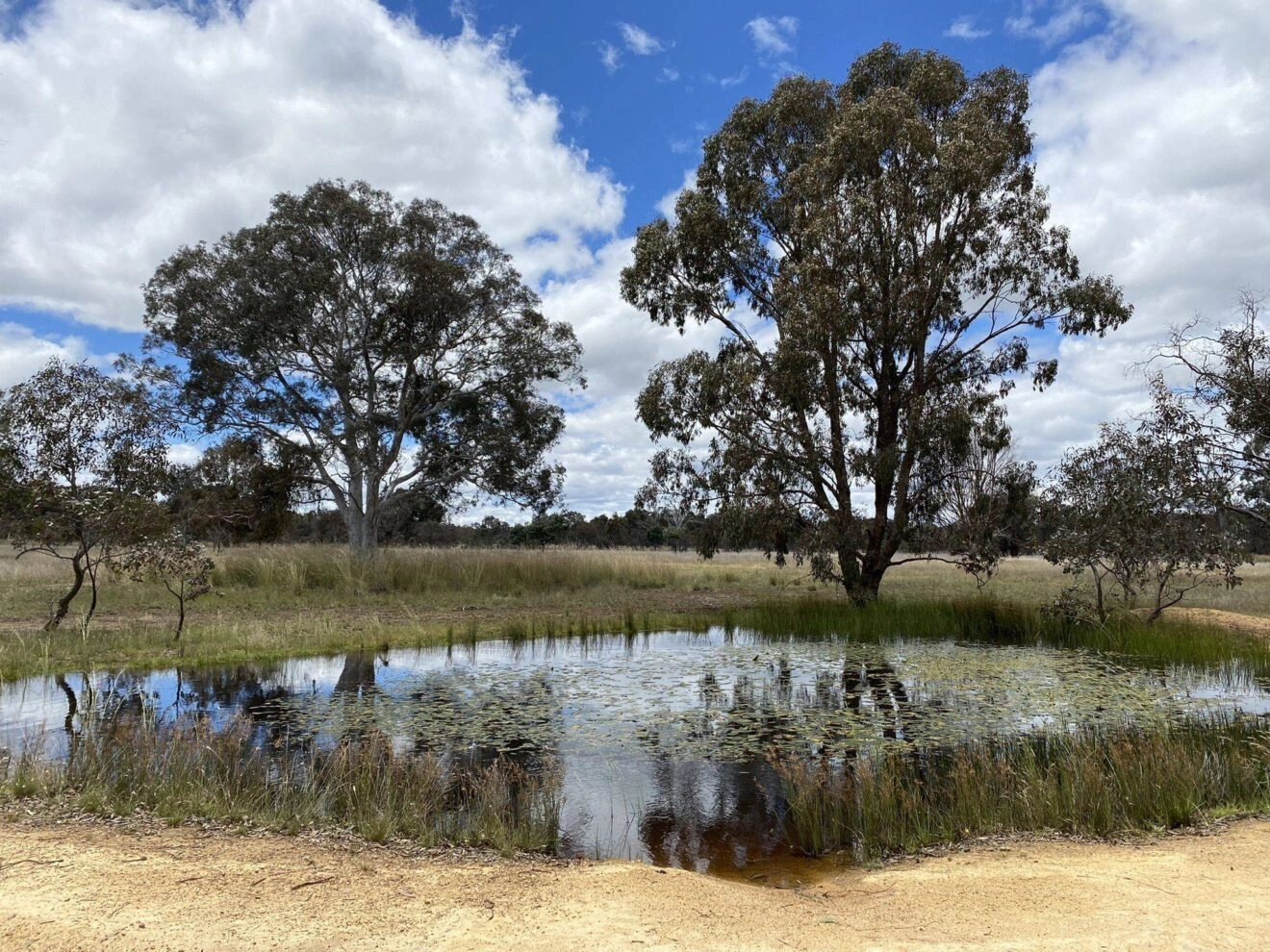
Mulligans Flat Nature Reserve
Length: 10.9km return
Time: Just over 3 hours
Complexity: Moderate
Within the Mulligans Flat Nature Reserve, there is a Mulligans Circuit which is located on the outskirts of Forde. This is a moderately rated walk and the trail is primarily used by hikers, walkers, runners and bird watchers. Parking is available at the start of the trail just off Amy Ackman Street. Expect to walk through forestry and woodland areas. There are usually plenty of kangaroos and other wildlife and birdlife within this nature reserve to observe too.
Percival Hill
Length: 3.2km return
Time: just over an hour
Complexity: easy
Just off the Barton Highway, Percival Hill is located between Crace and Nicholls. This walk has a great mix of open fields and wooded areas surrounded by Australian shrubbery and flora. You’ll also get some great views of Gungahlin Pond and Yerrabi Pond while you walk. This walk has a slightly steep incline at the beginning but then is a fairly easy climb to the summit. There is limited parking available though.
Belconnen
Mount Painter
Length: 3.5km return
Time: 1.5 hours
Complexity: moderate
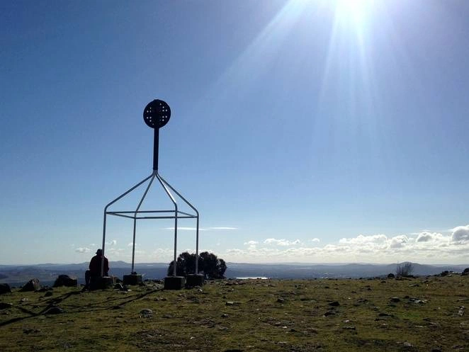
Found off Bindubi Street, Cook, Mount Painter is 742m above sea level. The bald summit has 360 degree views of Black Mountain, Lake Burley Griffin, Belconnen, the National Arboretum, Woden, Mount Stromlo and vast views of the Brindabellas and Tidbinbilla. There is a well defined path and some steep areas along this walk.
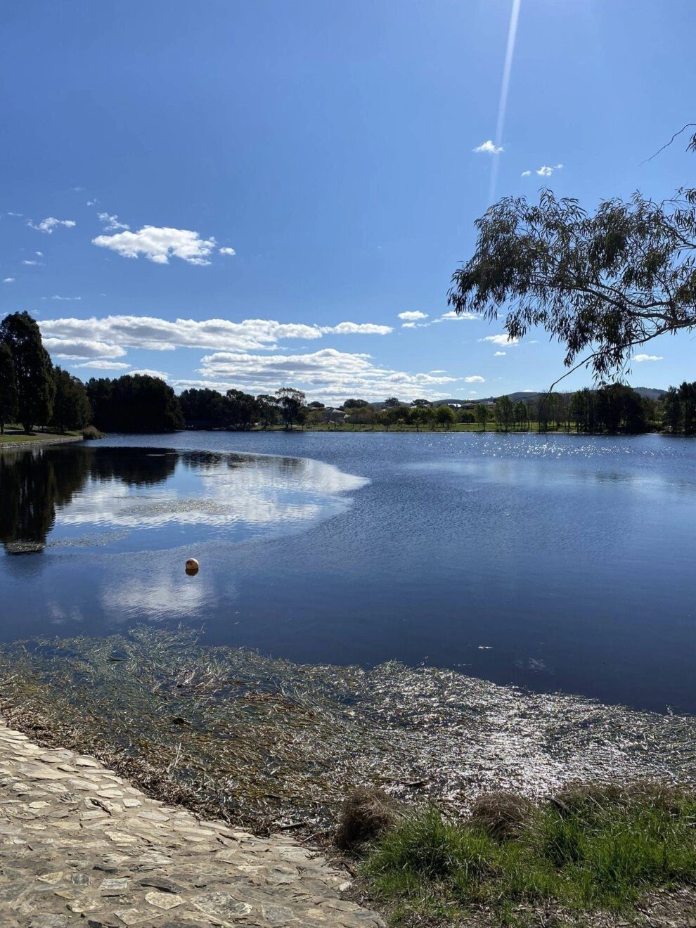
Lake Ginninderra
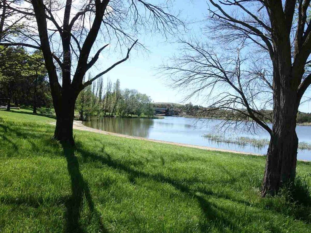
Length: 7.2km return
Time: 1.5 hours
Complexity: easy
As the longest lake walk around Canberra, Lake Ginninderra is Belconnen’s very own lake walk. With free parking, playgrounds, picnic areas, barbecues and bathroom facilities nearby, this is a crowd favourite for locals of the area. The best place to access the walking trail is from the free parking area from the northern peninsula located at Diddams Close Park. It can also be accessed from the western foreshore area (directly across from Macdermott Place with access off Joynton Smith Drive.
Pinnacle Central Track
Length: 2.6km return
Time: 45 minutes
Complexity: easy
The Valley Track Loop within the Pinnacle Central Track is located just outside of Hawker. This trail is primarily used for walking, hiking and bird watching. With lovely views and well defined, relatively flat tracks, this trail is suitable for families and is an easier trail for the whole family to enjoy.
Shepherds Lookout
Length: 600 metres return
Time: 45 minutes
Complexity: easy
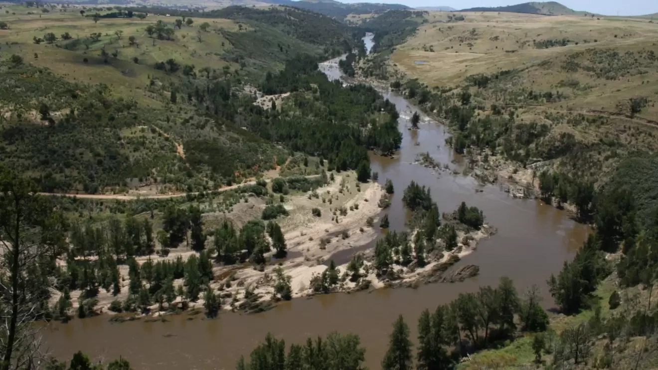
Located in Holt, Shepherd’s Lookout is one of our shortest walks out of these chosen trails. You’ll walk through the Woodstock Nature Reserve to come out onto overlooking the Murrumbidgee River.
City
Mount Ainslie Walking Track (Kokoda Trail)
Length: 4km return
Time: 1.5 hours
Complexity: moderate
Found just behind the War Memorial, Mount Ainslie is 843 metres above sea level and offers spectacular views of Anzac Parade, Lake Burley Griffin, Parliament House and beyond. The walk is also known as the Kokoda Trail and features memorials and plaques along the way representing the Kokoda Track in Papua New Guinea. It is a walk with a concrete path along the way and steep sections with stairs towards the top. This is possibly the most iconic walking trail you will find in Canberra.
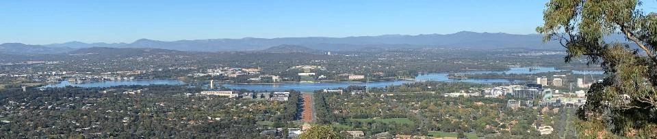
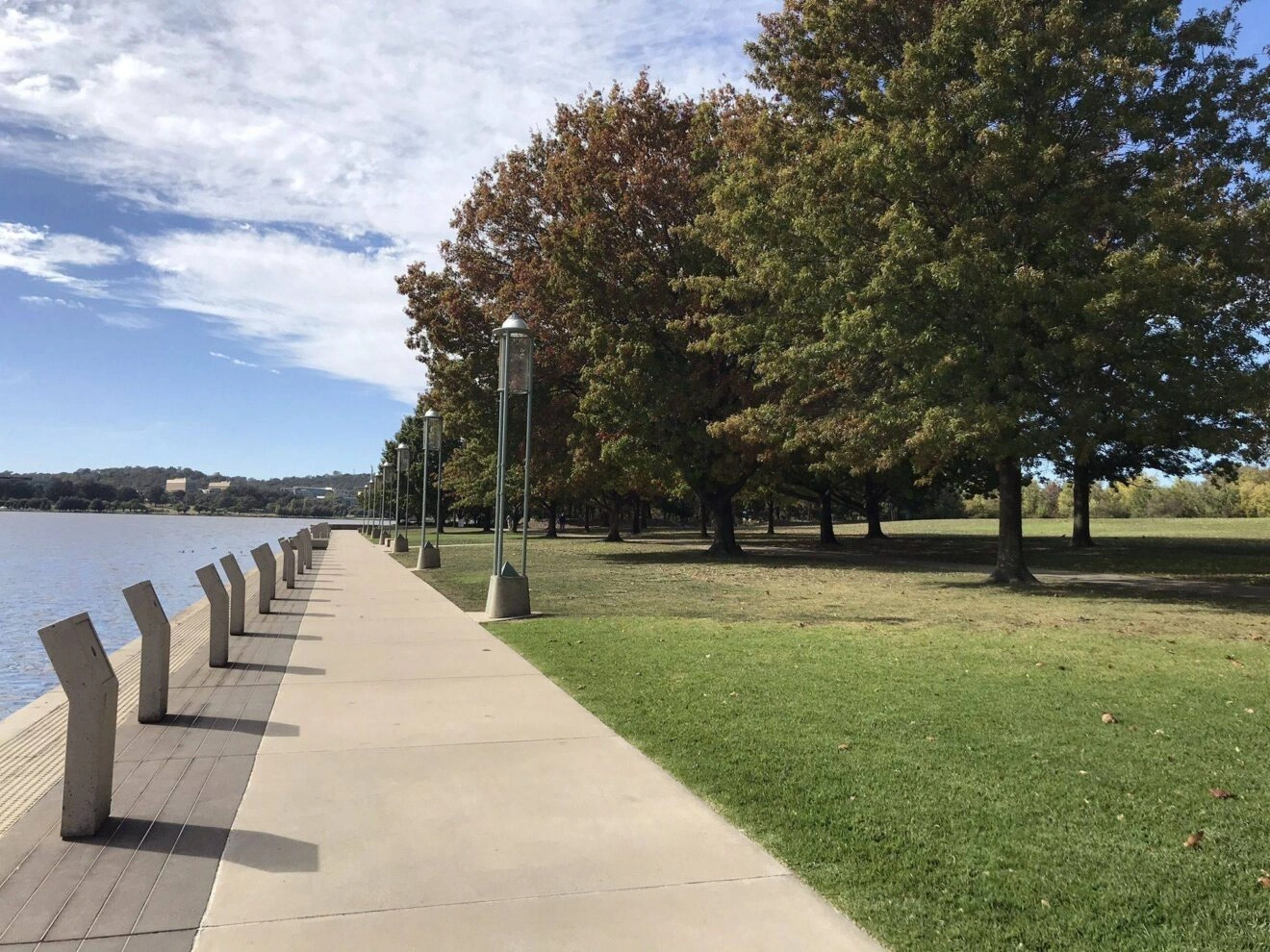
Bridge to Bridge walk of Lake Burley Griffin
Length: 5.1km return
Time: 1.5 hours
Complexity: easy
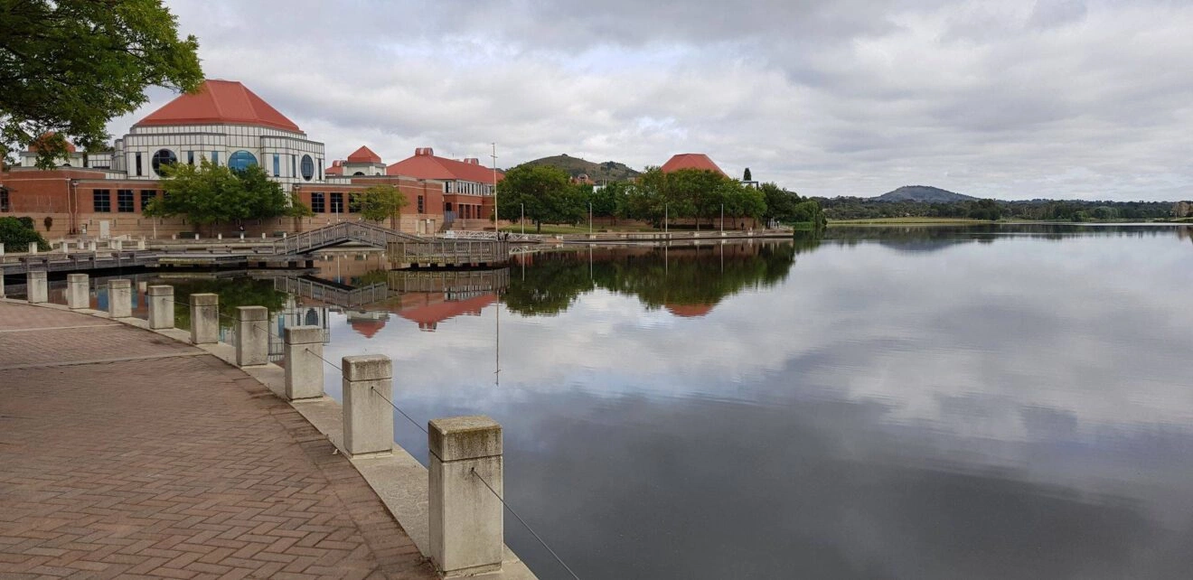
The hustling and bustling walk around Lake Burley Griffin is another popular walk amongst Canberrans. The loop walk is between Commonwealth Avenue Bridge and Kings Avenue Bridge.. This is a dog friendly walk but be aware that bikes and scooters also frequent this loop. On weekends, you’ll find a café and mobile van that serve coffees and snacks and there are also bathroom facilities available at certain times on this walk.
Mount Majura
Length: 5km return
Time: 1.5 to 2 hours
Complexity: moderate to hard
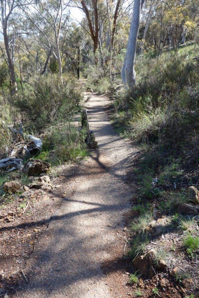
Standing 890 metres above sea level, Mount Majura is Canberra’s highest peak in the metropolitan area. Like most mountain trails in Canberra, there is more than one pathway to the top. We suggest you start at Hackett Gate, at the junction of Mackenzie and Grayson streets, Hackett and follow along the Casuarina Trail uphill followed by the fire trail to the top and then on the Casuarina Trail loop on the way down. The Casuarina Trail loop is a well defined path whereas the fire trail has loose gravel. The last 500 metres to the summit is a steep climb though.
Black Mountain
Length: 3.5km return
Time: 1 to 1.5 hours
Complexity: moderate to hard
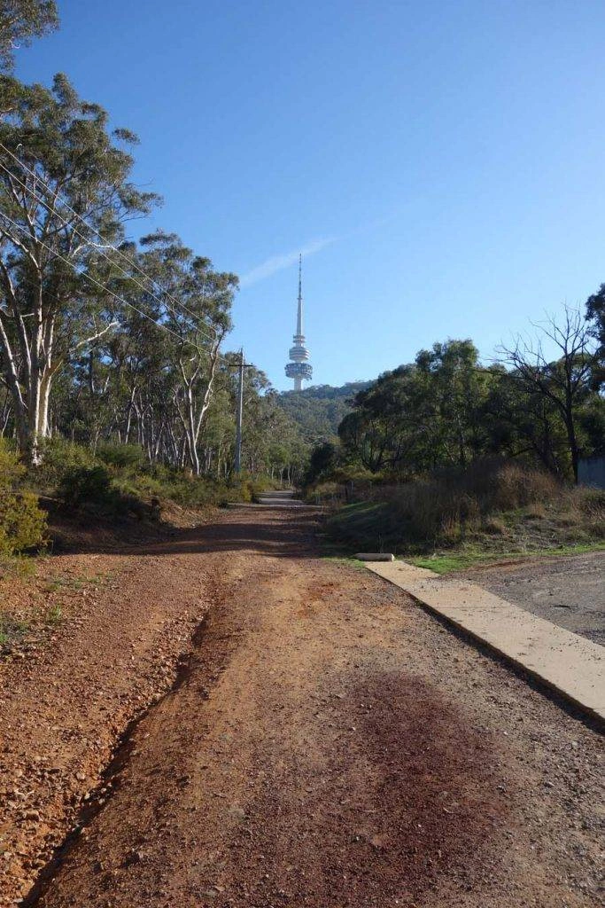
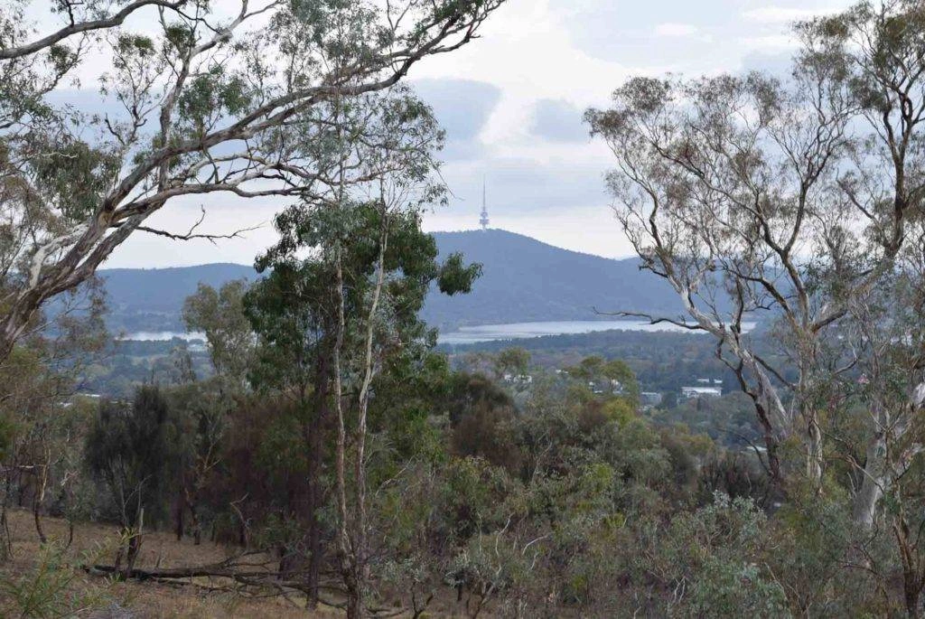
Boasting as the most diverse nature park in Canberra, Black Mountain stands 812m above sea level and has 100 species of birds, 500 species of plants and 5,000 species of insects. You should begin your walk to the summit from the substation at the end of Frith Road, off Barry Drive (behind CSIRO in Acton). Once you reach the summit, you’ll see views of Belconnen and the city as well as the iconic Black Mountain Tower (formerly Telstra Tower). This walk has a sealed pathway and a steep climb with stairs when you approach the summit.
Woden, Weston & Molonglo
Red Hill
Length: 3km return
Time: 1 to 1.5 hours
Complexity: moderate
Nestled in our inner south suburb of Red Hill, the hill surprisingly called Red Hill stands 720m above sea level. It’s a steep walk from Mugga Way, near the top of Flinders Way and you’ll head up the stairs towards the lookout. From the summit, you’ll see views of Parliament House to Mount Ainslie as well as the inner south. To sweeten the view, there is also a cafe on top of the hill where you can have a meal and a coffee if need be.
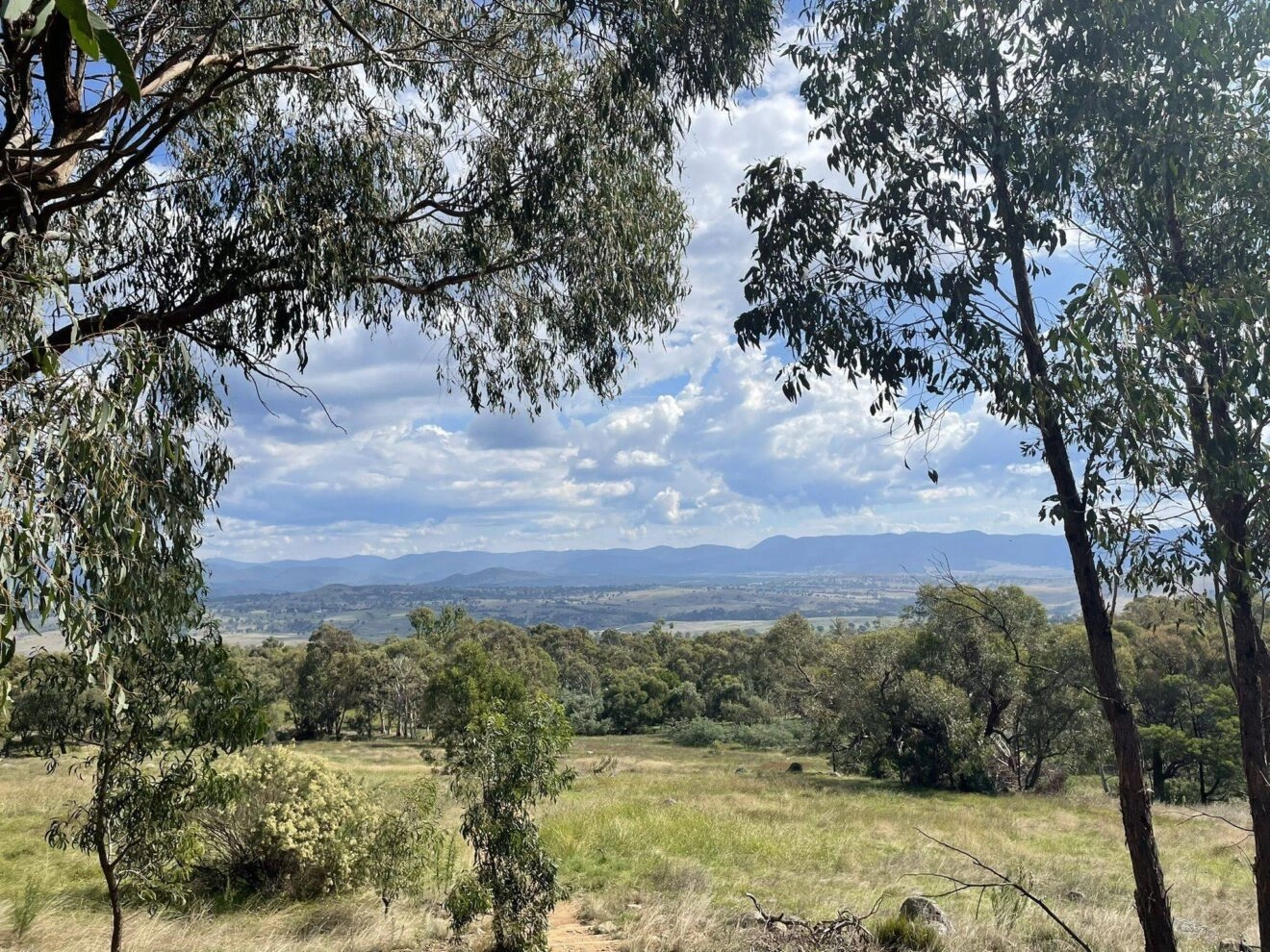
Cooleman Ridge Nature Reserve
Length: 6km return
Time: 2 hours
Complexity: moderate
In the southern section of Weston, the Cooleman Ridge Nature Reserve can be found behind the suburb of Chapman. There are at least 8 different walking trails within this area and span from 1.1km to 9.8km in length with a vary in difficulty. Our favourite of these trails is the Cooleman Hill to Mount Arawang Loop.
Isaacs Ridge
Length: 4.5km return
Time: 1.5 hours
Complexity: moderate
Isaacs Ridge offers a family friendly circuit on the east side of Woden. Walk through the Long Gully Pine Plantation on the circuit through the forest. As one of the more secluded walking trails, dogs are allowed on the trail but need to be kept on a leash.
Stromlo Forest Park
Length: 10km return
Time: 3 hours
Complexity: moderate
While Stromlo Forest Park is mainly known for mountain biking and cross country running tracks, there are trails that are used for hiking/walking too. The Stromlo Forest Short Loop is one of the main walking trails available within the forest park. This trail isn’t just for walking though and you will no doubt see runners and mountain bikers along your journey.
Tuggeranong
Mount Taylor
Length: 2.4km return
Time: just under an hour
Complexity: moderate
Located in between Woden and Tuggeranong, Mount Taylor is 856 metres above sea level. It is all uphill and does have some steep parts throughout but the view at the top is worth every second of it. From the summit, you will see major landmarks and scenery of Canberra. See how many landmarks you can see!
Lake Tuggeranong
Length: 7.1km return (full lake) or 6.7km return (bridge to bridge)
Time: 1.5 to 2 hours
Complexity: easy to moderate
One of the longer lake walks in Canberra, Lake Tuggeranong is located near the Tuggeranong Town Centre. Most people can try this walk and it does not require a high level of fitness. Lake Tuggeranong has a plethora of playgrounds, a dog park, toilets and coffee shops around to sweeten the deal.
Booroomba Rocks
Length: 2.5km return
Time: 1 hour
Complexity: moderate
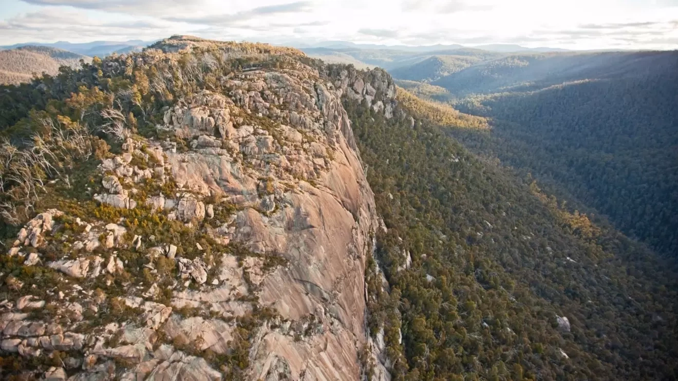
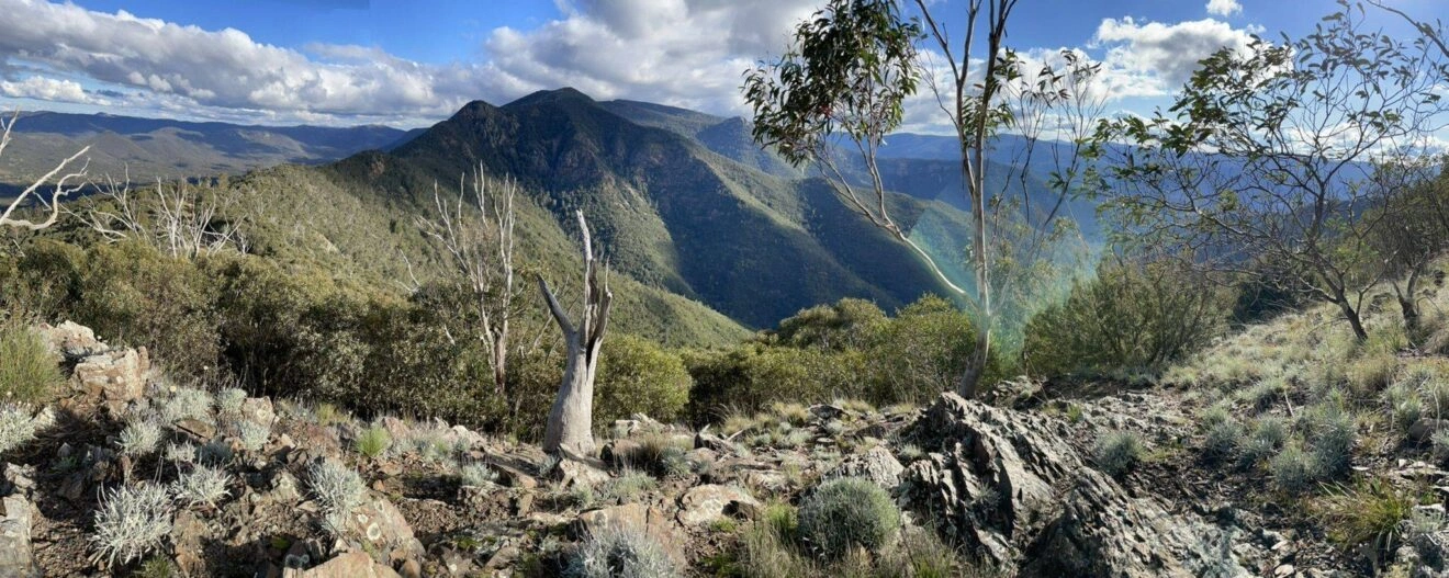
Located in Namadgi National Park, Booroomba Rocks is a walk that you’ll never forget. Nestled and shaded by the bush most of the way, this walk is 2.5km return and boasts of stunning views which overlook the Namadgi National Park at the end of the walk. This walk does require a moderate level of fitness and is not an accessible walk unfortunately as it does have rocky terrain and requires some upper body strength to climb a small rock face at the end of your journey. Within the Namadgi National Park, there are also many campsites in Canberra that be found here.
Tidbinbilla Nature Reserve
Length: 500m to 19km return
Time: 15 minutes to 8 hours
Complexity: easy to hard
Tucked away in the bush just outside of the south suburbs, Tidbinbilla Nature Reserve is an area the whole family can enjoy. Head to the Visitor Centre first and collect a map of all the trails you can walk within the reserve. They have a variety of different trails that vary in difficulty and length. Afterwards, you can have a picnic lunch down at the Nature Discovery Playground. This is a family friendly area where children can play at the playground or play a game of sports (BYO).
While we’ve broken down our favourite walking trails in Canberra, we challenge you to try some of these (or all of them). If this doesn’t float your boat, check out our article on things to do in Canberra for families. Let us know how you went in or share other options in the comments below. Happy walking!